Bayou Photography | Outside NOLA
This is Part 2 of our New Orleans trip (although, this post isn’t about New Orleans, exactly — more like the surrounding area). Check out Part 1 here, along with all the wonder that is the French Quarter, Garden District, Magazine Street in Uptown, Canal Street, and the river walk. If you can’t already tell… I seriously love this part of the States.
Part 2 takes us outside the city borders into the bayous. Years ago, I drove (aka got lost in) the area south of New Orleans, a part of the state filled with swamps, plantations, and long drives among enormous moss-drenched willow oaks. I fell in love with the area (even after cursing myself for heading down there without a map or a clue how to get around) and I couldn’t wait for the chance to return and explore in greater depth with more time on my hands.
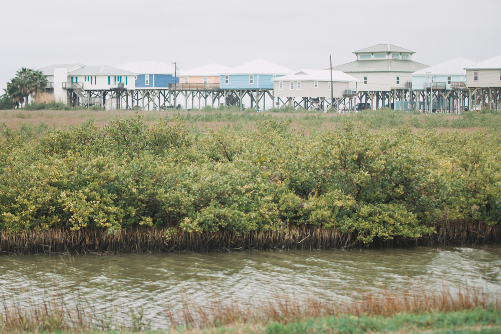
Unfortunately, this trip was not exactly my dream trip. As I mentioned in my last post, I took V to NOLA for our 4 year wedding anniversary, and I was so incredibly eager to share my passion for the city with him. And the city was every bit as magical as I remembered (more so, actually). However, when it came time to drive to my bayous & swamps, I may have messed up the itinerary just a tad. I decided we’d first drive to Grand Isle, a remote oasis/barrier island along Louisiana’s expansive shoreline. I know it’s some of the best saltwater fishing in the country, but we aren’t fisherman. Rather, I pictured a dreamy island on the Gulf of Mexico: white sand beaches, palm trees, coconut drinks… the whole shebang.
Instead, following a 3 hour drive, we were met with a lot of (forgive me) crappy houses on huge stilts and several things that looked like enormous power plants (V said they had something to do with oil but I don’t really know). It didn’t help that it was pouring rain. I was crushed, but nonetheless we drove the length of the island, got out for two seconds to see the beach (definitely not white, and more muddy than sandy), and we continued on our not-so-merry way to my next destination: a swamp tour.
I had been to one awesome swamp spot during my last NOLA visit, and I wanted to find it again for V. But I didn’t know the name of the place. So instead of doing the normal thing (aka googling around a bit), I decided we’d find it by the sheer power of my memory alone. Hmmmm. Unreliable at best; and ultimately a bad idea. After getting us lost somewhere on Route 182, I ‘remembered’ where the swamp was and had us continue driving… and driving… and driving… until I thought I’d recognized a road that led to a bridge that was unfortunately out of order. As in, you couldn’t cross the bayou without crossing over this bridge. So we’d taken a 70 mile detour on some seriously backasswards roads that led us nowhere since we had to cross this particular bayou to continue heading west (our ultimate destination was Houston). And, of course, we never made it to the swamp after all. Note: the swamp tour I was thinking of was Munson’s, which I later learned had closed for good a few months earlier.
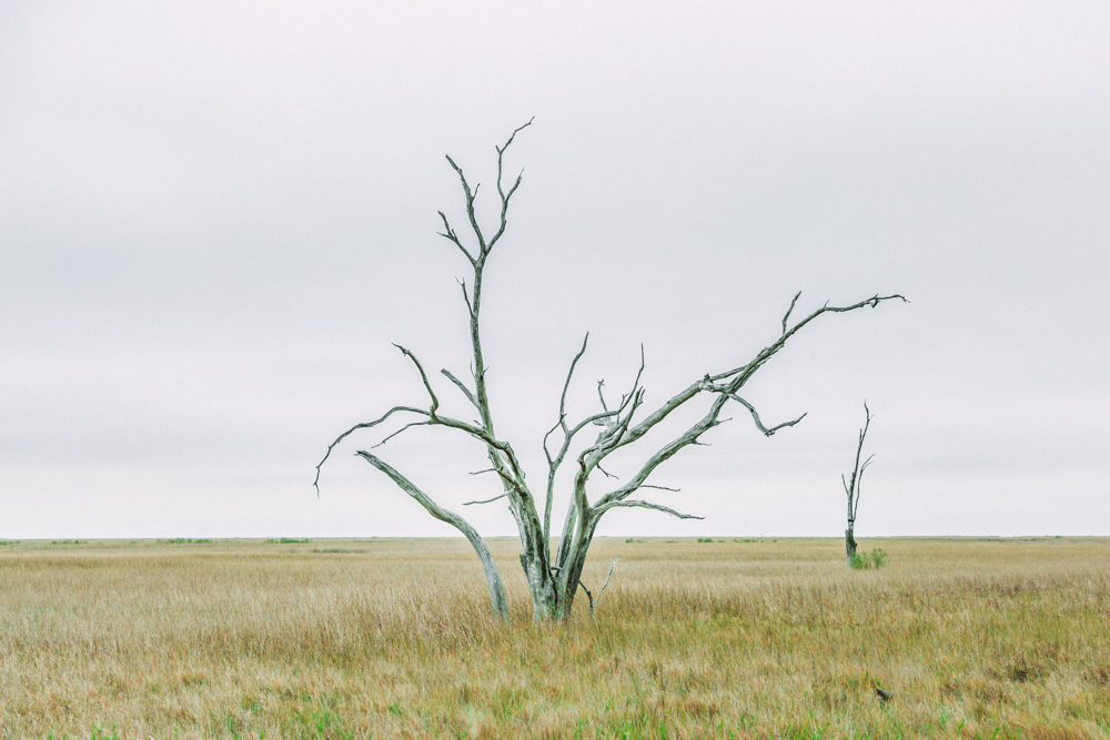
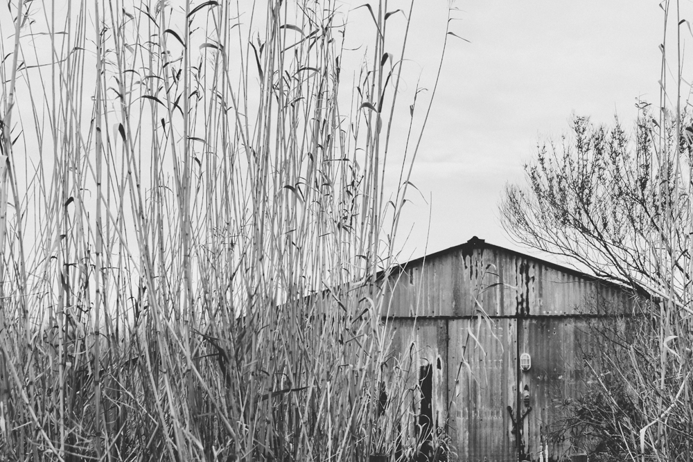
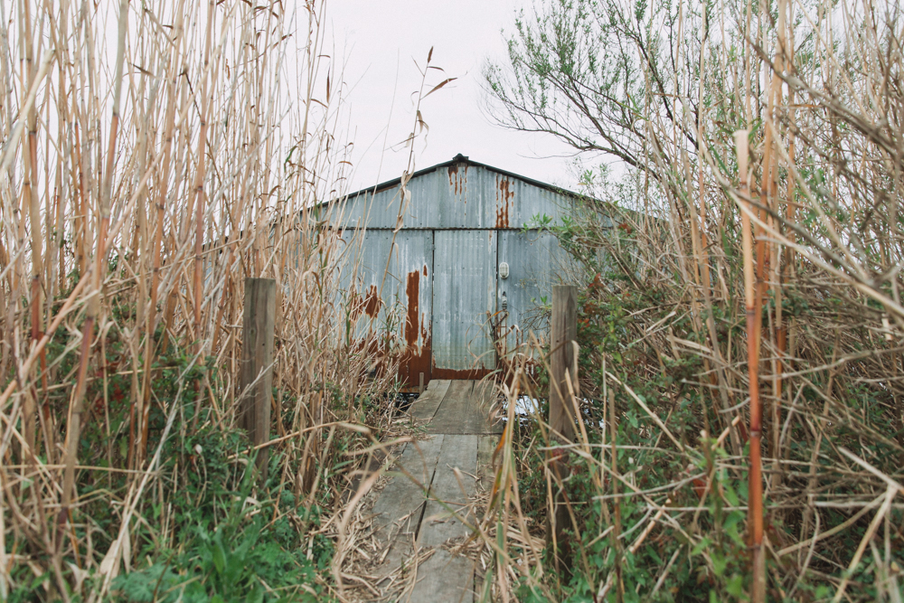
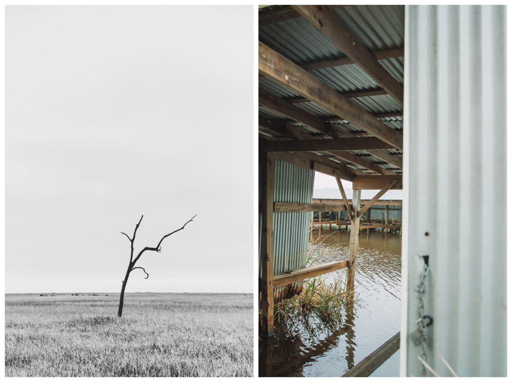
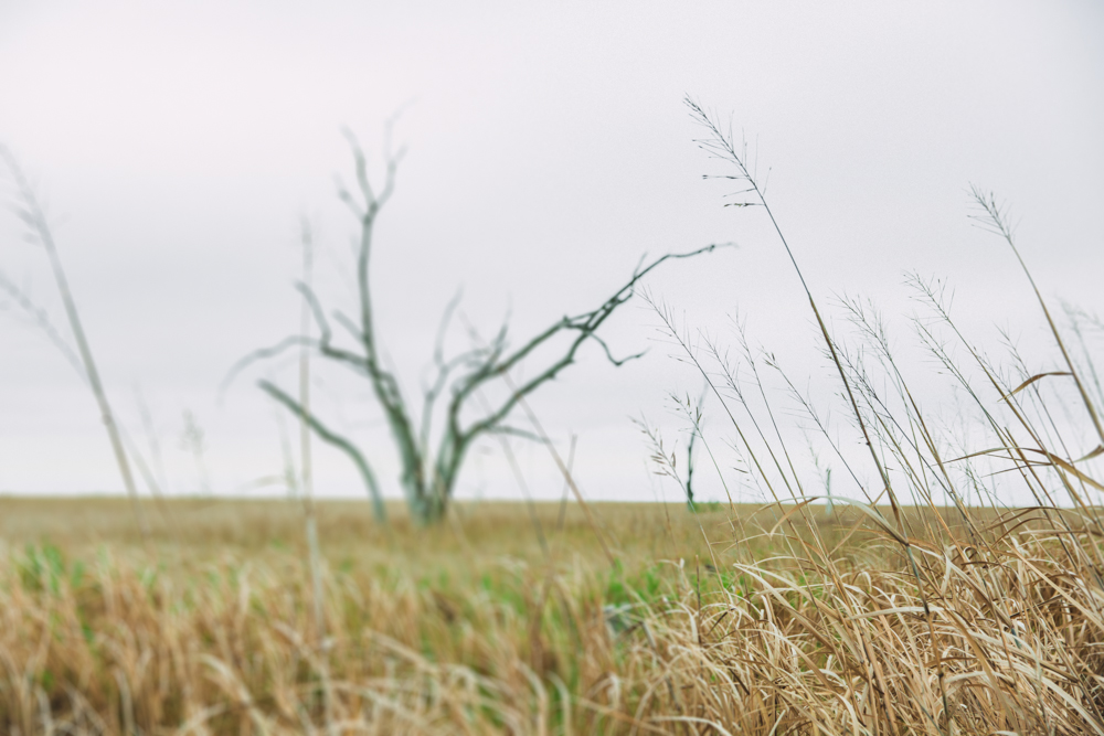
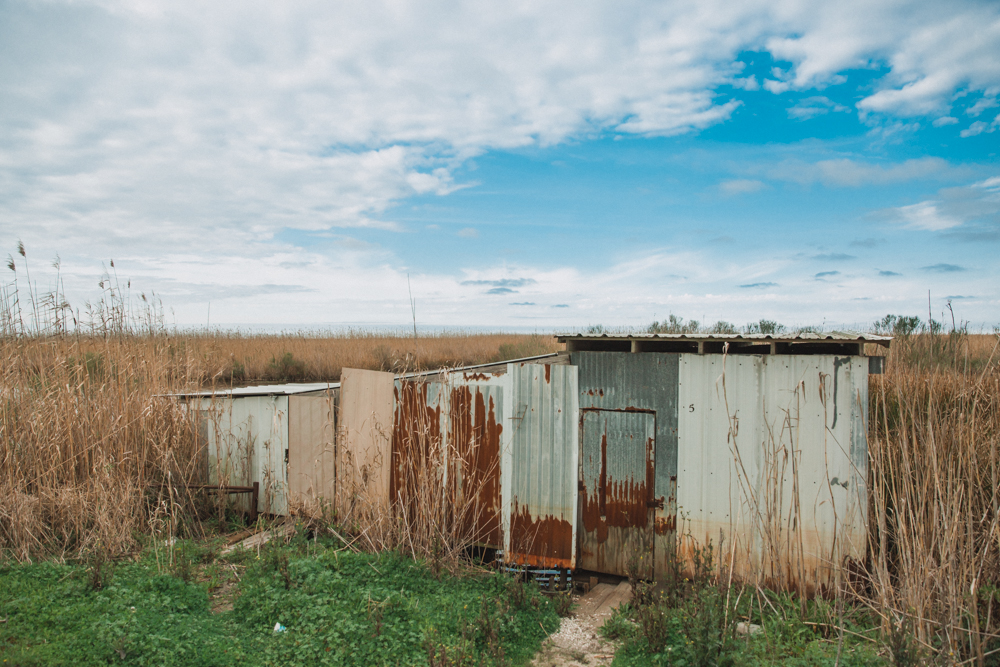
Yet, our spirits remained high as we continued onward to the Rockefeller Refuge, an area borders the Gulf of Mexico for 26.5 miles and extends inland toward the Grand Chenier beach ridge. It’s beautiful, for sure, but we’d been expecting it to look swamp-y, with huge trees and waterways. Hmmm. Again, I find myself at a point in the narrative where googling before we’d left would have been useful as I’ve since learned that the refuge is an entirely flat, treeless area. To add insult to injury, V got food poisoning while we were on this 26-mile-middle-of-nowhere stretch and was doubled over in pain for two hours.
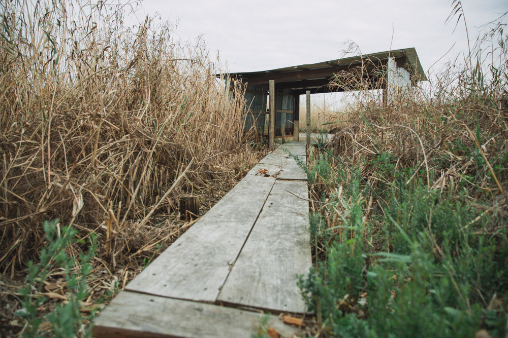
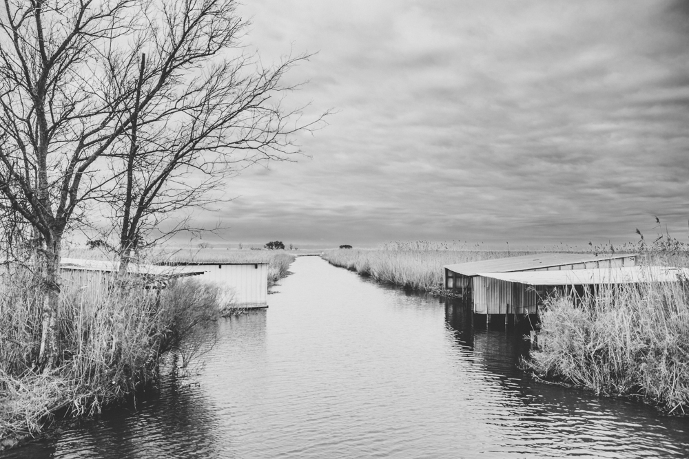
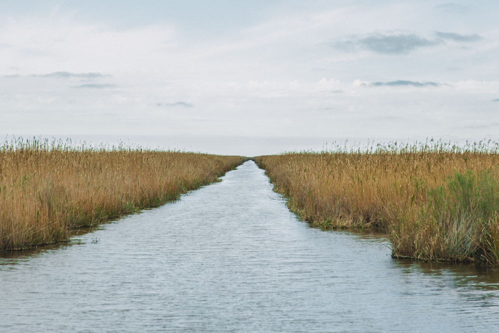
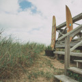
SO that was our little journey, in a nutshell, outside of New Orleans. I leave you with a few photos from that day… sadly, none from the swamplands that we never found.